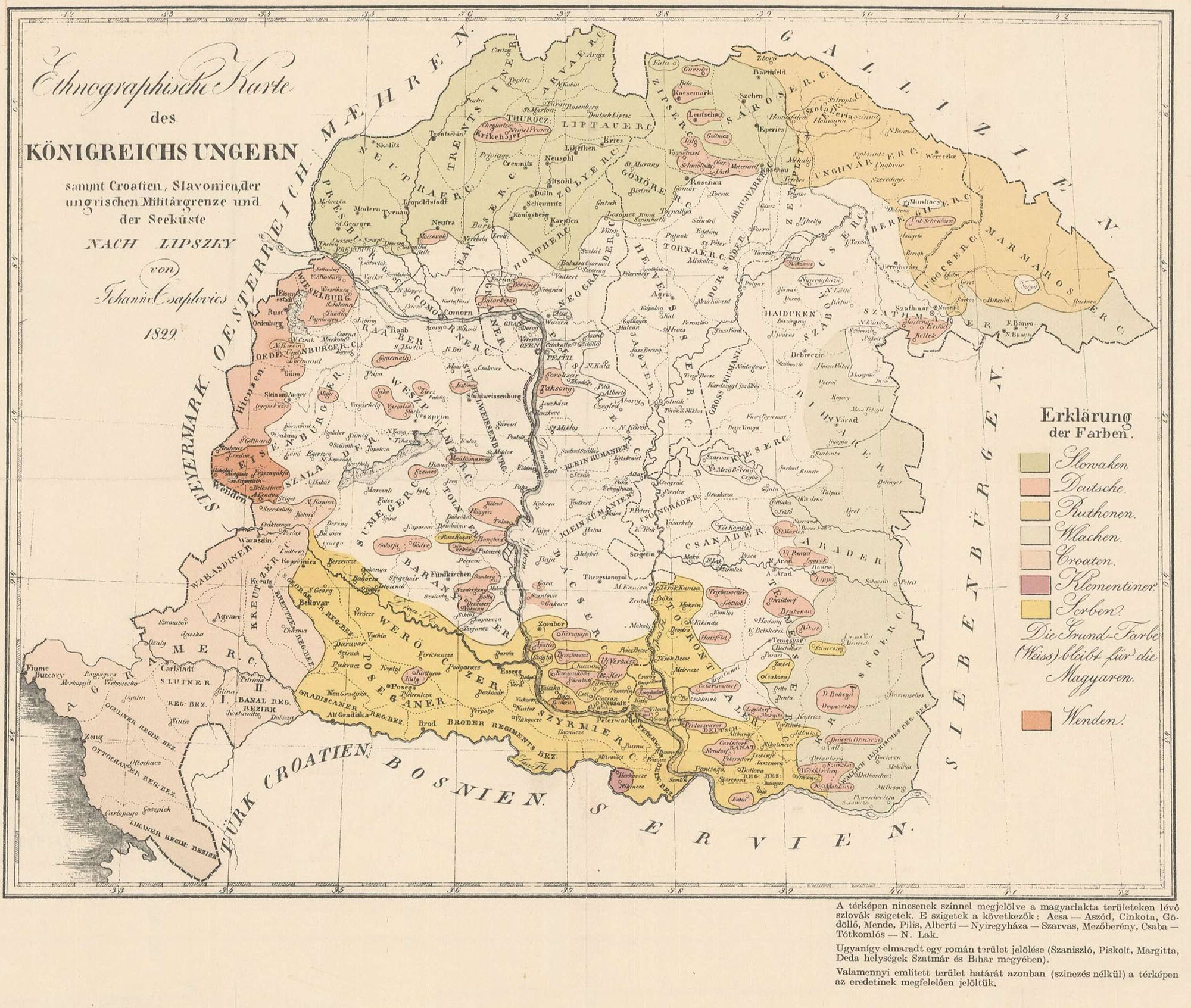
Ethnographic Map of the Kingdom of Hungary (1829)

Source: Johann Csaplovics, Ethnographische Karte des Königreichs Ungarn sammt Croatien, Slavonien, der ungrischen Militärgrenze und der Seeküste nach Lipszky, C.A. Hartleben, Pest, 1829.

MORE MAPS OF INTEREST

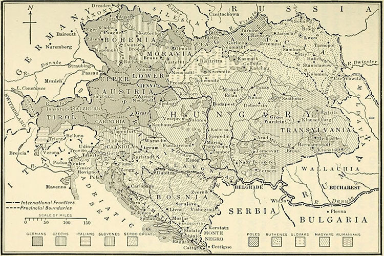
Ethnographic Map of Austria-Hungary (1914) d

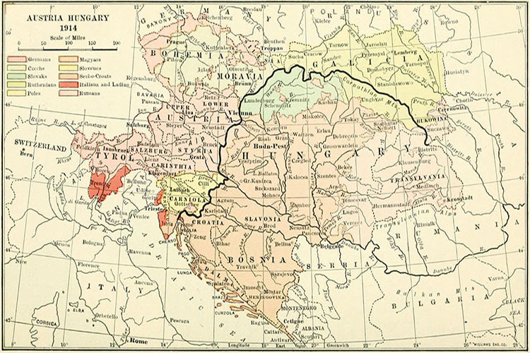
Ethnographic Map of Austria-Hungary (1914) e

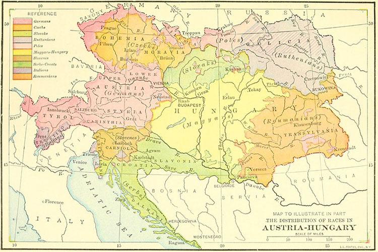
Ethnographic Map of Austria-Hungary (1914) f